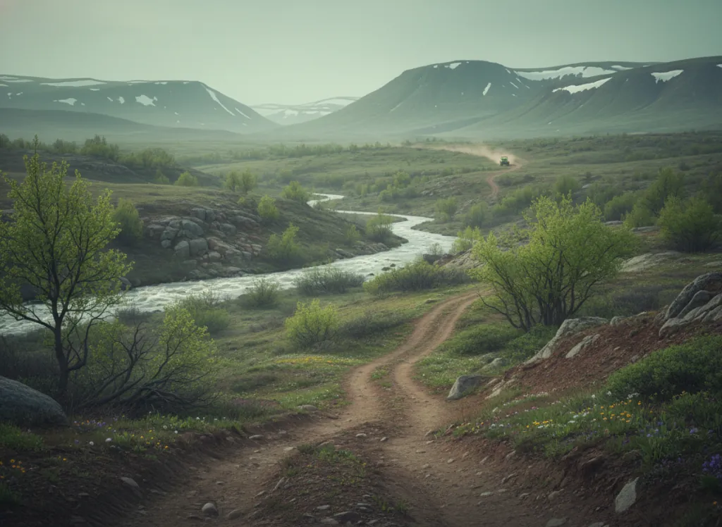
The Ottawa National Forest encompasses 990,000 acres of the western Upper Peninsula of Michigan in Gogebic, Ontonagon, Houghton, Iron, and Baraga counties: the most heavily forested corner of the Great Lakes region, a landscape shaped by the Laurentide Ice Sheet's most recent advance and retreat into a terrain of glacial lakes, bogs, rivers, and dense northern hardwood and boreal forest unlike any other part of Michigan. The OHV trail system operates on a designated network of forest roads and ORV trails throughout the western UP, with Gogebic County and the Watersmeet area providing the primary staging hub and the Black River, Presque Isle River, and Ontonagon River corridors defining the riding geography. The western UP is Michigan's true wilderness region: Gogebic County receives more snow than anywhere else in Michigan (annual average over 180 inches at some locations), the forest is sugar maple and yellow birch on the better-drained glacial till uplands and balsam fir and black spruce in the lowland bogs and beaver meadows, and the copper and iron mining legacy of the Keweenaw Peninsula and Gogebic Range gives the landscape its industrial-historic character absent from most national forest settings. The Sylvania Wilderness in the Ottawa's southwest corner, a pristine lake district of crystal-clear glacial lakes closed to motors, marks the western boundary of the ORV network; designated trails circle the wilderness perimeter through the surrounding national forest. The Porcupine Mountains Wilderness State Park to the northwest and the Ottawa NF together create one of the largest contiguous roadless forest blocks in the Midwest. Michigan ORV license required. Ottawa NF supervisor's office at Ironwood (906-932-1330) manages current ORV trail conditions.
Hours
Accessible approximately May through November; routes close under snow. No day-use fee. Michigan ORV license required on designated routes.
Phone
906-932-1330Trip openings, seasonal updates, and the occasional deal, straight to your inbox.
FAQ
Everything you need to know before you get started.
Have a question, or ready to book? Reach out and we’ll get right back to you.